Queensbury Mews, Brighton
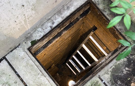
We were asked to carry out a survey at a residential property situated in central Brighton. Of particular interest was a basement that the resident had recently discovered below his property, accessible via a 600x450mm manhole located in the corner of his garden (photo 1).
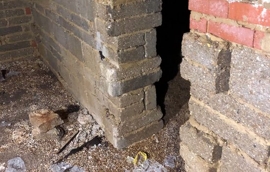
Equipped with a handheld 3D laser scanner, our surveyor was able to climb down through the void in order to capture the full expanse of the basement, which extended into a second room through an archway (photo 2).
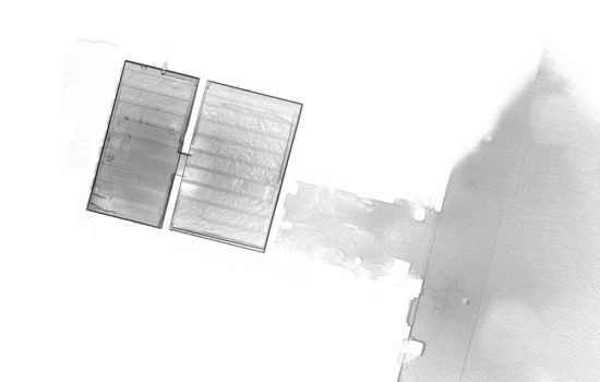
Using this data, we were able to present an accurate floor plan of this basement area to the client (photo 3). This plan was then presented in context alongside a full topographic survey of the entire property.
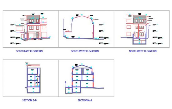
Our final submission included various elevation and section drawings which clearly identified the position of the basement in relation to the property (photo 4).
Using GPS data gathered on site, we were able to accurately geo-reference our drawings in order to place our data in a wider context. Our survey could then be used by the client to discuss potential development of his property.


