

Receive A Free Quote From Us Today
SPECIALIST BUILDING SURVEYORS
Who We Are
The Archidata surveyors collectively have over 130 years of surveying experience. This ranges from the most basic measured building surveys for loft extensions and lease plans, to the most complicated BIM models of listed buildings, barns, churches, chapels, schools, colleges and commercial buildings.
Perhaps one of our most demanding projects to date was the measuring and setting out of 2,500 different shapes (twice!) of artificial turf, real grass, poppy fields, plough earth fields and crop gardens for Danny Boyle’s London 2012 opening ceremony, the green and pleasant land.
Our projects have taken us as far south as the Rotterdam and as far north as Glasgow. As far east as Amsterdam and as far west as Antigua, but we are equally happy to work closer to home in Sussex, Surrey, Essex, Kent, Devon, Hampshire, Hants, Berkshire and London and we are perfectly placed between the A24 and A27 corridors with easy access to airports and major motorways.
No job is too big or small, or too far away.
Our Team
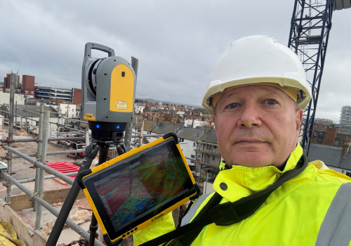
Originally trained in civil engineering with an ONC, & a HND in Building Studies, and a first year of an Architecture Degree under his belt, surveying has always been a key part of Rob’s career. After many years working in architecture as an Architectural Technologist, he became increasingly frustrated by the poor quality of survey information being provided to architects & designers, leading him to establish Archidata to deliver accurate, reliable & architect-friendly survey data.
Rob’s career has also included time skippering superyachts for high profile clients around the world. He holds an MCA Master’s Licence for vessels up to 3,000 gross tonnes with a worldwide commercial endorsement, experience that further developed his leadership, problem solving & project management skills.
Today, Rob oversees all Archidata projects, specialising in measured building surveys, topographical surveys, 3D laser scanning & Scan to BIM workflows, with a strong focus on practical, high quality deliverables for the construction & design industry.
Archidata offers a service that covers the whole of the UK and Rob can often be found out in the field – sometimes as far north as Glasgow, West in the Caribbean or across the channel in the Netherlands.
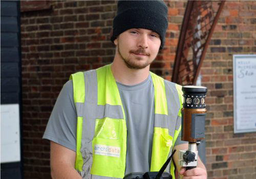
Connor joined Archidata in 2018 and has progressed from Junior Surveyor to Principal Geomatics Surveyor and Team Manager, playing a key role in the company's continued growth and technical development.
Over the years, Connor has become one of the driving forces behind our 3D laser scanning, point cloud processing and reality capture workflows. His expertise spans topographical surveys, measured building surveys, engineering surveys, UAV operations, photogrammetry and BIM-related data capture, making him an invaluable asset on projects ranging from private residential developments to complex commercial and heritage sites.
Known for his attention to detail and practical approach to problem solving, Connor oversees the day-to-day management of our survey team, ensuring projects are delivered efficiently and to the high standards our clients expect. He is particularly passionate about emerging technologies and is constantly exploring new ways to improve the accuracy, efficiency and quality of our survey deliverables.
Connor studied topographical surveying with The Survey School and UAV operations with Consortiq. He continues to invest heavily in his professional development and is currently studying Engineering with The Open University. In 2026, he also achieved a distinction in the TSA ProQual Level 3 Diploma in Engineering Surveying and was awarded honorary membership of CICES in recognition of his achievement.
Today, Connor leads many of Archidata's most technically demanding projects and is widely regarded within the business as the go-to specialist for complex survey challenges, 3D laser scanning and reality capture technologies.
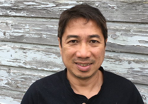
Darin has been a valued key member of our team since 2007. Originally from the Philippines, Darin has a BA in architecture and is also an experienced land and building surveyor. He is also an experienced architectural technician, proficient in AutoCAD and 3D modelling.
He specialises in using bespoke survey software and our state-of-the-art equipment such as 3D laser scanners to produce as-built surveys and measured building surveys. He also excels in producing topographical land surveys using our robotic total station theodolites and centimetre accurate GPS units.
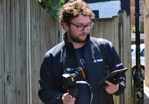
Lewis joined the team in September 2022, bringing several years of experience in 3D laser scanning and CAD. Based near Portsmouth, he has enhanced our ability to cover England's South Coast.
With a comprehensive knowledge of static and handheld laser scanners, as well as topographic surveying, Lewis has bolstered our capabilities as a team.
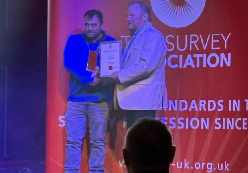
Joining Archidata in August 2022 with very little prior surveying experience, Luke has developed rapidly through a combination of hands on site work, technical training and a genuine passion for the industry. After completing the TSA Training Course and achieving a distinction in the ProQual Level 3 Engineering Surveying qualification, Luke was awarded honorary CICES membership in recognition of the exceptional standard of his work. His final project thesis was praised as exemplary and recommended as a benchmark submission for future candidates.
In just three years, Luke has progressed into the role of Senior Geomatics Surveyor and has become a key member of the Archidata team. He is now heavily involved in measured building surveys, topographical surveys and 3D laser scanning projects, combining technical accuracy with practical problem solving and a strong understanding of how survey data is used by architects, designers and construction professionals.
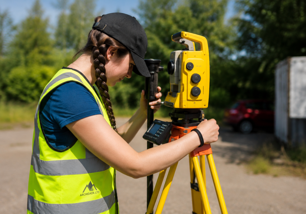
Zara is a Trainee Geomatics Surveyor studying for a Degree Apprenticeship in Geomatics Surveying. As part of the Archidata team, she is gaining practical experience in measured building surveys, topographical surveys, 3D laser scanning and modern surveying technologies under the guidance of our senior surveyors.
Working alongside experienced professionals on a wide variety of projects, Zara is developing the technical skills required to produce accurate survey data and CAD drawings for architects, engineers and property professionals. Her apprenticeship combines university study with hands-on site experience, giving her a strong foundation in modern surveying techniques and best practice.
At Archidata, we believe in investing in the next generation of surveyors, and Zara's enthusiasm, attention to detail and willingness to learn make her a valued member of the team.
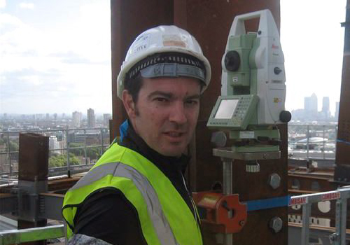
Shane is a Kiwi, but we don't hold that against him! He is a fantastic addition to our team here at Archidata; as well as being an efficient and accurate land surveyor he also specialises in setting out.
Shane lives in the Horley area giving us excellent coverage in London and South East of England.
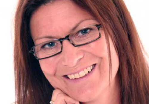
Fiona (or Fee as she likes to be known as) lives in Brighton, East Sussex, and her main duty is as our book keeper and payroll operator, however she has also helped to implement many changes to enable the business to expand at a steady and consistent rate. She also keeps everybody in line when it comes to shopping for new gadgets!
Fiona has successfully set Archidata up with an amazing new accountancy package called Xero that helps us quote and invoice very efficiently.
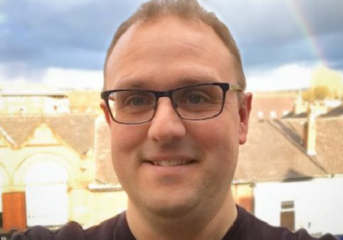
Steven has run his practice for the last 15 years, specialising in owner-managed businesses, with a sound background in all accounting and taxation matters for corporate and private clients.
Steven qualified as an Accounting Technician (FMAAT) in 1995, a Chartered Certified Accountant (FCCA) in 2003 and a Taxation Technician (ATT) in 2006.
Our Company Values
We are a small, close-knit team who care about our work and the people who rely on it. These five values guide how we approach every survey.
We take ownership
Every member of our team takes responsibility for their work, from the first measurements to the finished drawings. We check the detail and follow through on our commitments. If an issue arises, we take responsibility for resolving it.
We pull together
Good surveying takes individual diligence and a team that supports one another. We work confidently on our own and closely together when the job demands it. We roll up our sleeves and go the extra mile to deliver for our clients.
We take pride in precision
We know that our surveys form the foundation of other people’s decisions. We combine modern surveying technology with careful observation and thorough checking to produce accurate information. As surveyors who think like architects, we make sure our drawings are practical to use.
We act with professionalism and integrity
We listen carefully and give straightforward advice. Our quotes reflect what each project needs, with clear explanations of the scope and any limitations. We treat people with courtesy and approach challenges calmly, keeping the client’s project moving forward.
We keep learning
Experience matters, but there is always more to learn. We develop our skills and share knowledge across the team. Every project is an opportunity to improve our work and raise the standard of the next survey.
Company Motto
We know that we are only as good as our last survey and strive to make every survey the best we have ever done
AND … the customer is always right (of course )
Explore More
Want To Chat? Let’s Talk.
Whether you’re planning a new project or looking to improve what you already have, our team is here to help. Get in touch today and let’s explore the best way forward together.